Local Guide 04
The Gulf Breeze peninsula, explained
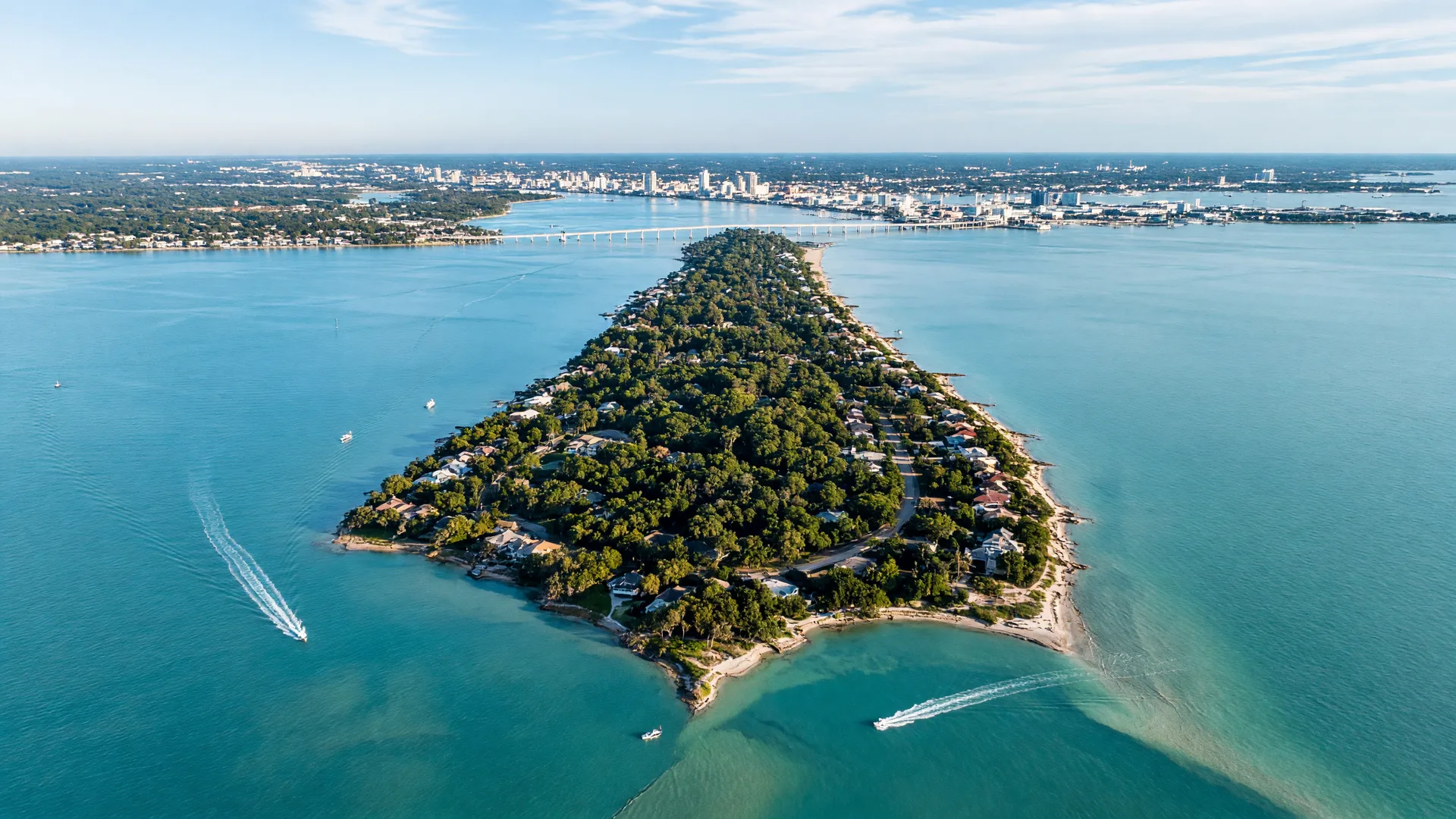
Gulf Breeze is a narrow strip of land between Pensacola Bay and Santa Rosa Sound, connected to the mainland by one famous bridge and to the beach by another. Here is how the whole thing fits together.
Where it sits
Water surrounds the city on three sides.
Pensacola Bay washes the north shore, Santa Rosa Sound laps the south, and the Gulf of Mexico is a short drive beyond the beach bridge. That geography is why Gulf Breeze feels like a town suspended in water, and why it can never sprawl: there is simply no more land.
About 6,340 residents called the city home at the 2020 census, with estimates hovering near 7,000 since. Millions more drive through on the way to the beach.
- Roughly 5 miles south of downtown Pensacola
- About 20 minutes east to Navarre Beach
- Straight south across the Bob Sikes Bridge to Pensacola Beach
4.7 sq mi
of land, inside a 22-square-mile city boundary that is mostly water
13 ft
average elevation. Flat, low, and breezy, right at water level
3 ZIPs
32561 on the peninsula, 32563 toward Tiger Point, and 32562 for PO boxes
1961
the year Gulf Breeze incorporated, the only city in south Santa Rosa County
The bridges
How the peninsula connects.
- 1931
The first crossing
The Thomas A. Johnson Bridge opened on June 13, 1931, tying the peninsula to Pensacola by road for the first time.
- 1960
The Three Mile Bridge
The Philip Dane Beall Sr. Memorial Bridge replaced it on October 31, 1960, and gave the crossing its enduring nickname: the Three Mile Bridge.
- 2019–2023
The new twin spans
The Gen. Daniel 'Chappie' James Jr. Bridge now carries six lanes across: eastbound traffic since September 2019, westbound since February 2023. Hurricane Sally sent barges into the old spans in September 2020, and the project finished after that setback.
U.S. 98, the Peninsula Bridge
The main route north to Pensacola and south through town. In the morning, eastbound traffic heads toward Navarre; in the evening, the bridge lights up over the water.
Gulf Breeze Parkway
U.S. 98 through town is simply 'the Parkway.' Everything from coffee to groceries to the farmers market sits along it.
Bob Sikes Bridge, SR 399
The only road to Pensacola Beach runs south through Gulf Breeze. Expect weekend traffic headed to the sand.
Naval Live Oaks to the east
Gulf Islands National Seashore's Naval Live Oaks borders the peninsula's east edge, keeping that corner green and quiet.
City basics
A small city that runs its own show.
Gulf Breeze operates under a council-manager government: a separately elected mayor, four council members, and a professional city manager. Regular meetings are open to the public on the first and third Mondays at 5:30 p.m. at City Hall, and agendas are published on the city website.
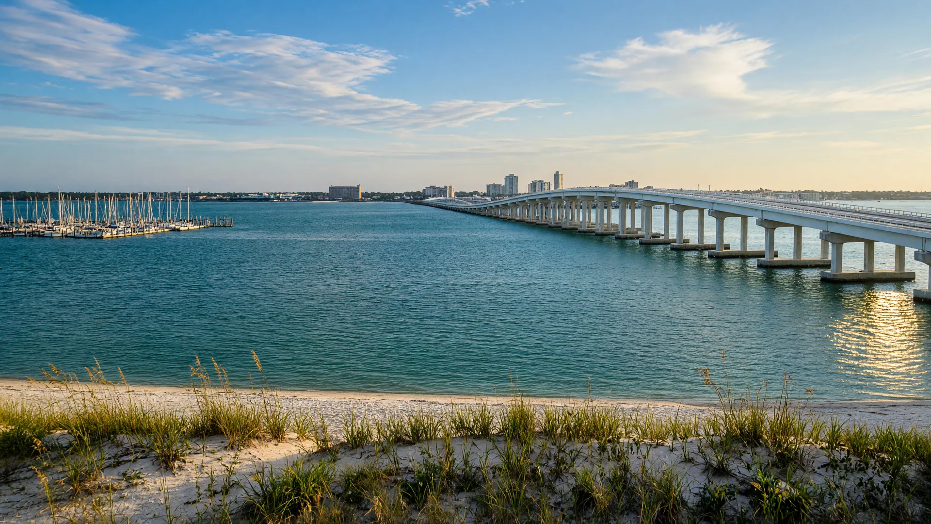 The bridge at sunset, seen from the bay
Get Local Updates
The Gulf Breeze digest, sent only when there is something worth knowing.
Seasonal guides, upcoming events, and the best of Gulf Breeze, delivered to your inbox.
- Verified events and dates
- New local guides
- Park and waterfront news
- Easy unsubscribe, always